
Ankarana National Park is a protected area in northern Madagascar. The authority created this reserve in the year 1956.
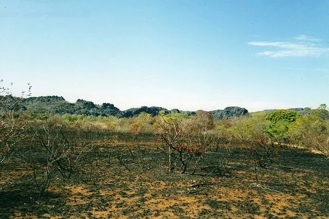
It is a small, vegetated plateau made of 150-million-year-old middle Jurassic limestone. Erosion has produced caves in the underlying rocks.
These caves feed rivers, creating a karst topography. The area gets about 2,000 millimeters (79 in) of rain each year.

The rugged relief and dense vegetation have helped protect the region from intrusion. The southern entrance of the site is in Mahamasina on Route Nationale 6.
It is 108 km south-west of Antsiranana and 29 km (18 mi) north-east of Ambilobe. There are also some hotels at the entrance.
More Information About Ankarana National Park
The plateau slopes gently to the east. On the west, it ends abruptly in the Wall of Ankarana. The sheer cliff extends 25 kilometers from north to south and rises to 280 meters.
To the south, the limestone mass breaks into separate spires known as tower karst. Seismic activity and eons of rainfall have eroded the limestone at the center.
Deep gorges and ribbons of flowstone have formed. The base rock has etched into channels and ridges. It happens in places where the calcified upper layers have eroded.
The authority has mapped around 100 kilometers of cave passages. La Grotte d’Andrafiabe is the most accessible caves.
It comprises at least 8.035 kilometers of horizontal ways. The Massif contains the valuable cave systems in Madagascar. It has the most important cave systems in all of Africa.
They found unexpected sub-fossil remains of extinct lemurs. They also found previously undescribed species of blind fish, shrimps, and other invertebrates.
Several expedition members contributed photos to an illustrated introductory guide to Madagascar. It features the Crocodile Caves of Ankarana.
During the 1986 expedition, Phil Chapman and Jean-Elie Randriamasy made a bird list. They recorded 65 species from 32 families.
It comprises almost a third of all bird species that breed in Madagascar. They also noted one aspect of behavior.
They reported that many small insect-eating songbirds used an unusual strategy. Species such as the Paradise Flycatcher and the Common Jery together in mixed bands.
Different species within each band specialized in where and how they found insects. Some species concentrated on the trunk and branches of trees, some on slender boughs.
Others searched beneath the leaves. By acting together, they increased foraging efficiency. Each species could catch others’ escaped prey.
They were also safer from predators. The group as a whole was more likely to spot approaching danger. Fifty guides work at this fantastic site.
They have excellent knowledge about the area, its biodiversity, and its ecosystems. Additionally, they offer ethical guidance and understand the culture of the Antakarana people.
They also have training in first aid. The entrance fee for foreign tourists is 65,000 Ariary per day, while children pay 25,000 Ariary per day.
Half of the entrance fees go to Madagascar National Parks. The other half goes to local communities. Guides are obligatory in this area of Madagascar.
The entrance fee of a guide depends on the chosen tour. The trek takes 2 to 3 hours and includes a steep slope. It leads to an underground cave with eight species of bats, from small to large.
With luck, trekkers might see lemurs. These are the Crowned lemur, Sanford, and Northern sportive lemur. They might spot a Ring-tailed mongoose or even a Fossa if lucky.
The trek to this site is easy, but a small river crossing is necessary in the rainy season. The walk takes 3 to 4 hours and is ideal for combining one-way with other circuits.
This circuit shows the magnificent landscape of the Tsingy. It highlights the duality between limestone and volcanic rocks. It also showcases the specific vegetation that grows there.
The 7-hour trek is complex because the track is walking on the south. This circuit is ideal for enjoying the landscape of the Tsingy. It also showcases its unique vegetation.
The Benavony underground cave has beautiful dripstone formations. On suspension bridges, trekkers can see the landscape from above.
The bridges join two small canyons. The trek takes 4 to 5 hours and leads through a forest of the Taim-papango tree. It also goes through a forest of big lianas and ficus.
At the viewpoint, a postcard picture surprises with views of Ambilobe in the west. At the horizon, islets spot the Mozambique Channel over the Tsingy.
One can see the northern part of Ankarana Park from the plateau. The silhouette of Montagne d’Ambre dominates this view.
- Nosy Ve: A Beautiful Place In Madagascar
- Mantasoa: A Beautiful Municipality In Madagascar
- Lake Anosy: AN Amazing Area In Madagascar

A Bangladeshi entrepreneur. A person who loves nature, a web developer, and the founder of Srigal and Nehrin.